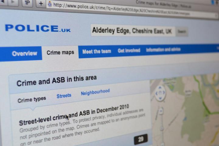
A new website featuring street-level crime maps was launched by the Home Office last week.
www.police.uk enables you to search by postcode, town, village or street to access maps identifying the location of reported crimes.
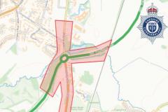
The crime map for Alderley Edge shows that 29 crimes were committed in December 2010, which is broken down to 4 burglaries, 2 acts of anti-social behaviour, 6 violent crimes and 17 other crimes.
To protect privacy, individual addresses are not pinpointed on the map, instead crimes are mapped to an anonymous point near where they occurred but this has led to complaints that crimes are wrongly being assigned to quiet residential streets rather than the bars and clubs they are close to.
Details of our local policing team, advice for protecting yourself from crime, appeals and police surgeries are also included.
I met up with Inspector Matt Welsted, from Wilmslow Neighbourhood Unit, this morning to discuss police.uk and the crime information for Alderley Edge.
Inspector Welsted said "I welcome communities being given access to this information so they can be better informed of what the issues are and hopefully people will then take better precautions to prevent these offences occurring in the first place.
"I do however have concerns about how people interpret the information provided on the website and about the categories of incidents, whether that be burglaries or vehicle crime. For example a burglary might be someone breaking in to a house or stealing garden equipment from a shed and most of our vehicle crime is theft from a vehicle, such as hub caps or number plates rather than theft of vehicles. Violent crime particularly concerns me because it not only includes assaults but other offences such as swearing in a public place.
"The other area of main concern is how police.uk displays locations. The locations shown on the map are not where the incident took place, but the nearest street which has 12 or more residents.
"For example, in Handforth we have one of the largest Marks and Spencer stores in the country and one of the largest Tesco stores. Footfall in those premises is dramatic and whilst we have very little crime there we do have a lot compared with Alderley Edge or Wilmslow, but because of the way the mapping works all offences committed at these stores gets moved to a nearby road.
"Looking at the map for Handforth we haven't seen a single crime in Hall Road in December yet the map is showing 13 crimes. In fact the last noticeable crime we actually had in Hall Road itself was in April. I can see why this is being done, because it would be wrong if we could see for example where people are having domestic problems but it does create limitations.
"Ultimately this is the best that they could come up with at the time but the information can easily be misinterpreted."
Inspector Welsted added "Alderley Edge is a very low crime but if people do have concerns about what is happening in their area then they can always contact the local policing team here at Wilmslow Police Station on 0845 458 6374.